Crissy Field restored: Difference between revisions
No edit summary |
(added link to new page) |
||
| Line 9: | Line 9: | ||
[[Image:presidio$crissy-field-wetland-restored.jpg]] | [[Image:presidio$crissy-field-wetland-restored.jpg]] | ||
'''Crissy Field, long filled in and used by the military, is being restored. This photograph shows a slough in 2001.''' | '''Crissy Field, long filled in and [[Crissy Field in Presidio Military Base|used by the military]], is being restored. This photograph shows a slough in 2001.''' | ||
[[Image:presidio$crissy-field-dunes-restored.jpg]] | [[Image:presidio$crissy-field-dunes-restored.jpg]] | ||
Latest revision as of 00:03, 18 January 2023
Unfinished History
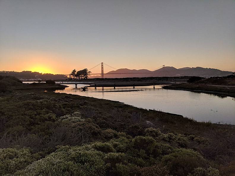
Restored tidal lagoon at sunset, looking northwest towards Golden Gate Bridge, 2018.
Photo: Chris Carlsson
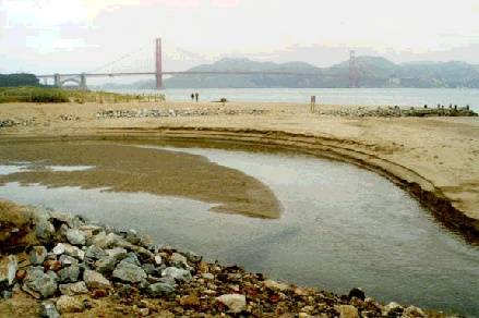
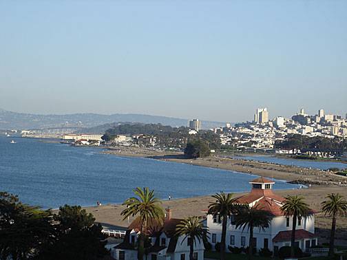
Crissy Field, long filled in and used by the military, is being restored. This photograph shows a slough in 2001.
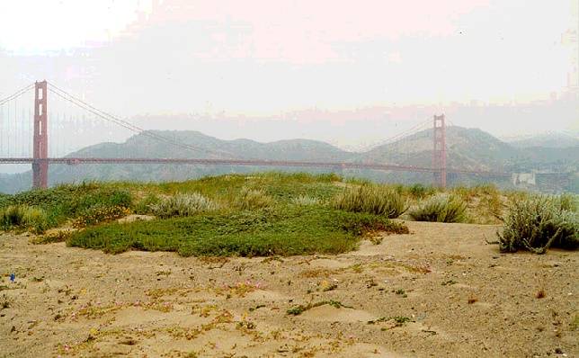
This 2001 photograph of Crissy Field shows native-plant-covered dunes that have been restored since the changeover to National Park status.
Photos: Chris Carlsson
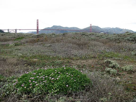
January 2008: Crissy Field dunes have flourished, growing taller and fully covered by native plants
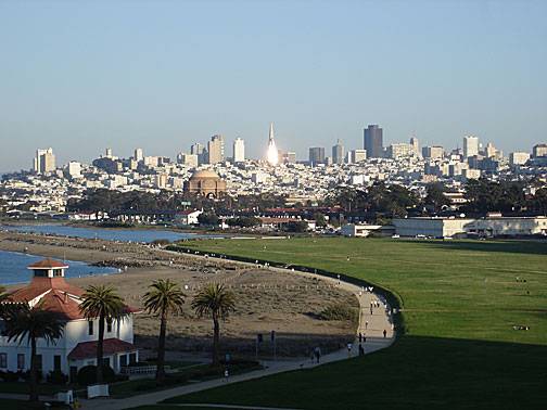
View of restored Crissy Field marsh from road above Ft. Point.
Pyramid ablaze in sunset light, old airfield and marsh gleaming in foreground at Crissy Field.
Photos: Chris Carlsson
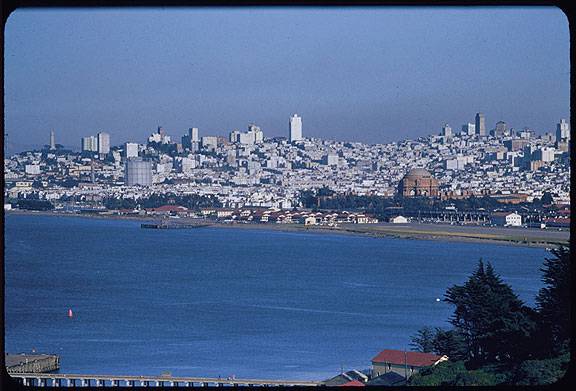
Contrasting to the two 2008 photos preceding it, this 1956 image shows a paved Crissy Field on its right, with an old PG&E gas tank still sitting in the Marina District.
Charles Cushman Collection: Indiana University Archives (P08600)

