Eastern View from Buena Vista: Difference between revisions
(added photo, fixed gaar attributions) |
m (Corrected neighborhood.) |
||
| (One intermediate revision by one other user not shown) | |||
| Line 9: | Line 9: | ||
[[Image:Buena Vista East view 1886 AAB-8803.jpg]] | [[Image:Buena Vista East view 1886 AAB-8803.jpg]] | ||
''Photo: San Francisco History Center, | ''Photo: San Francisco History Center, San Francisco Public Library'' | ||
[[Image:Wiggle-valley-1860s.jpg]] | [[Image:Wiggle-valley-1860s.jpg]] | ||
| Line 25: | Line 25: | ||
[[The John Coltrane Church | Prev. Document]] [[The Chutes | Next Document]] | [[The John Coltrane Church | Prev. Document]] [[The Chutes | Next Document]] | ||
[[category:Haight | [[category:Lower Haight]] [[category:1880s]] [[category:baseball]] [[category:1860s]] | ||
Latest revision as of 15:08, 12 March 2023
Unfinished History
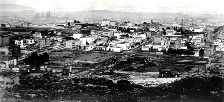
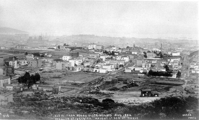
View eastward from Buena Vista Park in 1886. Baseball game underway in lot middle left, at corner of Pierce and Haight, Yerba Buena Island in upper left corner.
Photo: Private Collection, San Francisco, CA
Photo: San Francisco History Center, San Francisco Public Library
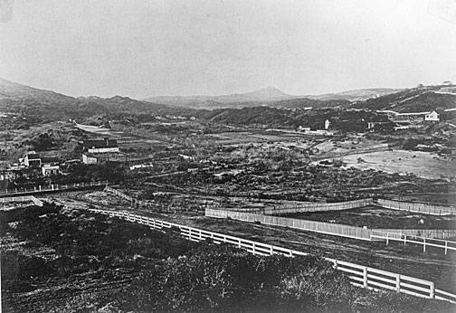
1860s view northwesterly across same "lower Haight" area, east of Buena Vista Peak.
Photo: Private Collection, San Francisco, CA
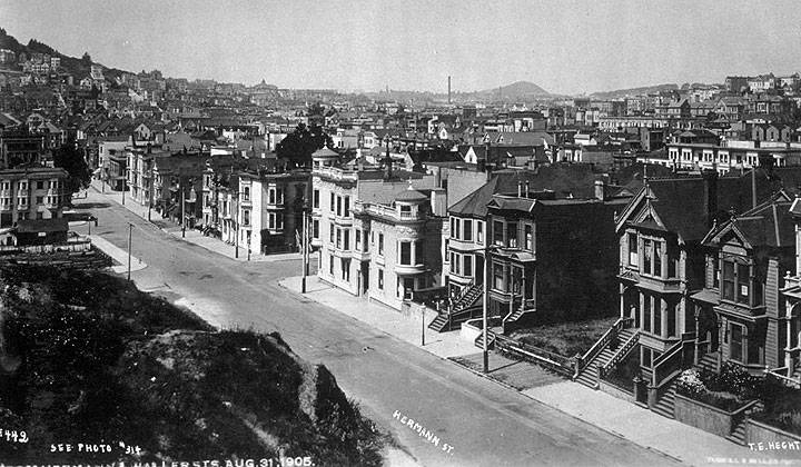
1905 view northwesterly matching 1860 view above.
Photo: Private Collection, San Francisco, CA


